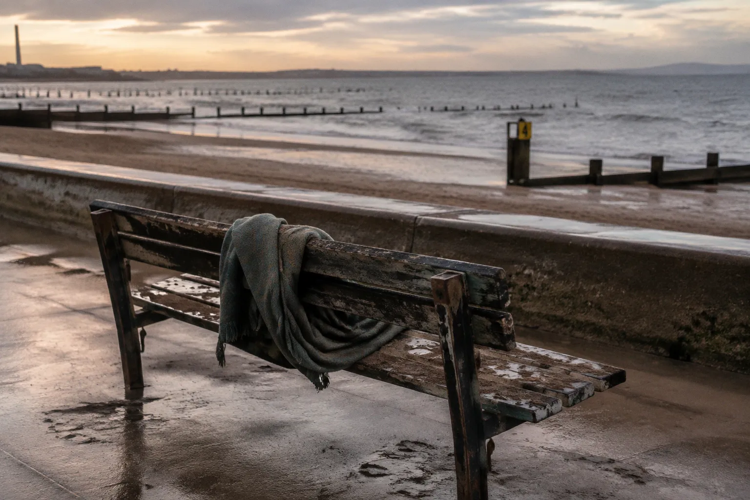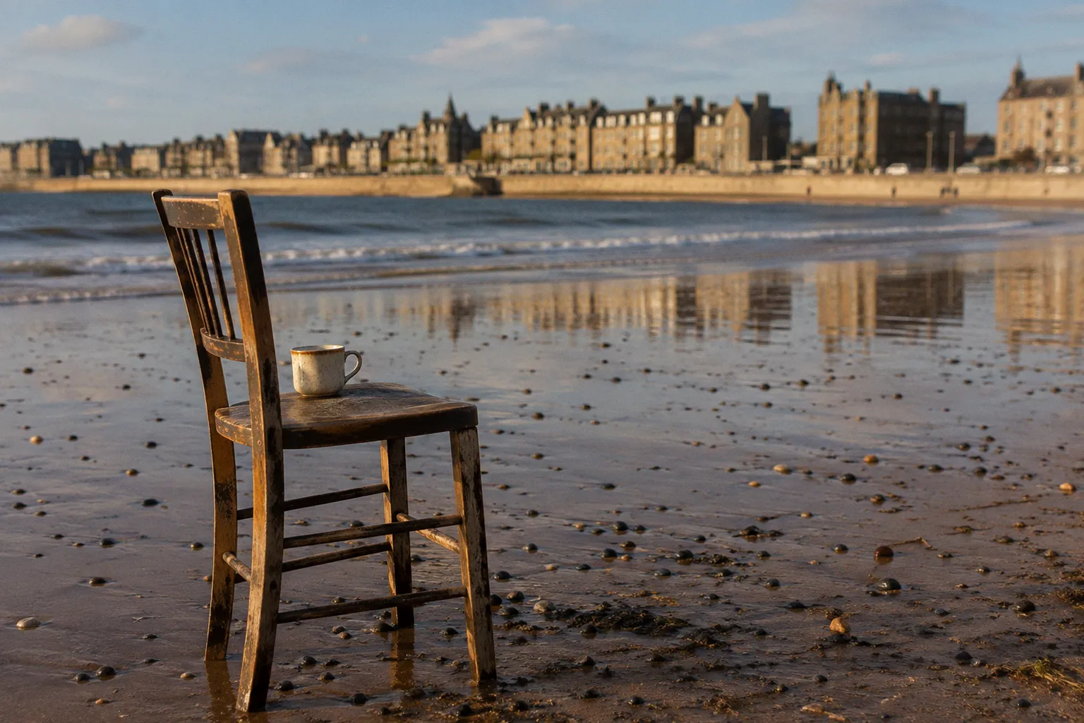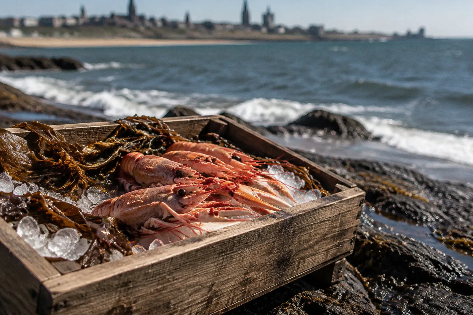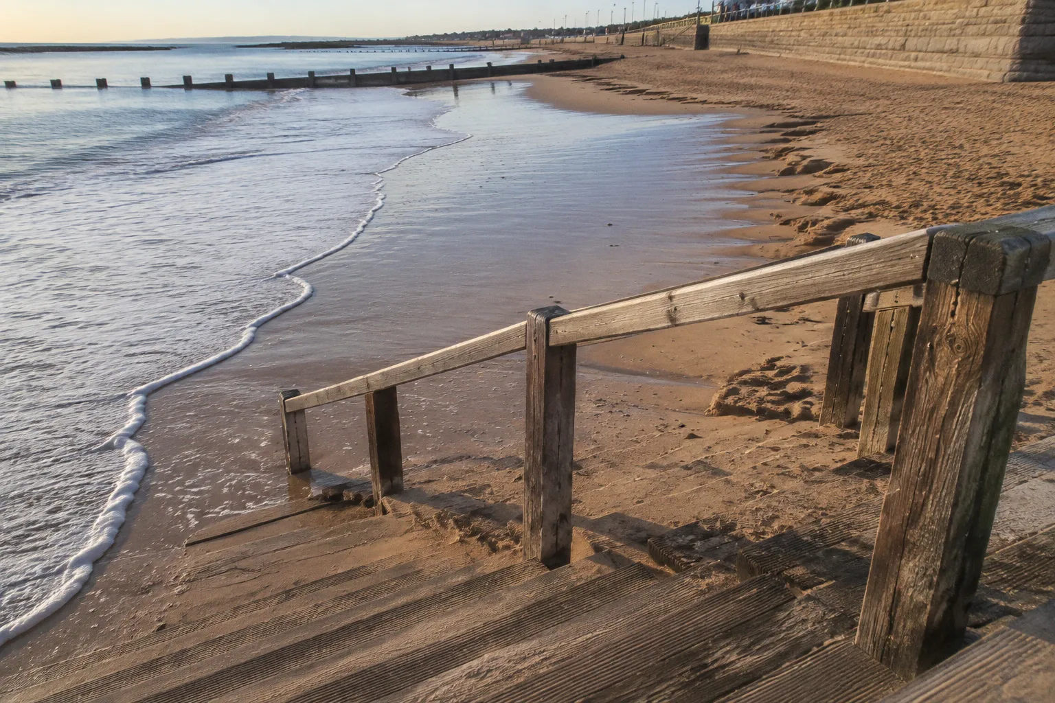
There is a moment, twice a day, when the Firth of Forth exhales. The water retreats from Portobello's curved mile-and-a-half of sand, dragging shells, weed and small stones with it, and leaves behind a flat, sun-bleached plain that can stretch nearly three hundred metres from where the promenade railings stand. Walkers who arrive at the wrong hour find only a narrow margin of damp sand between their boots and the sea wall; those who arrive with the rhythm of the tide find themselves somewhere else entirely, a wide silver expanse where oystercatchers stalk and the city feels a long way inland.
The beach at Portobello is a tidal creature. Its character — the width of usable sand, the exposure of the rocks at Joppa, the puddled pools that linger near the dunes — is dictated by one of the most predictable physical systems on the British coast. Understanding that rhythm is the difference between a brisk forty-minute stroll and a half-day wandering across wet sand that disappears at your back.
The Mechanics of the Forth: Why Leith Sets the Pace
The North Sea behaves itself around Scotland's east coast. Unlike the dramatic ranges of the Bristol Channel or the slow swell of the Atlantic seaboard, the Firth of Forth follows a semi-diurnal cycle: two high tides and two low tides every lunar day, roughly six hours and twelve minutes apart. Portobello sits within this larger pattern, but it does not measure its own tides.
Every tide table for Portobello is calculated against Leith, the standard port between roughly three and a half and four miles upriver to the northwest. The tidal station at Leith is the reference gauge for the inner Forth, and the readings there are adjusted for the slight delay and reduction in range that occurs as the flood tide travels downstream and loses energy along the firth's narrowing channel. In practice this means a walker in Joppa can read a Leith-based table, allow for the firth's modest lag, and plan a visit with reasonable confidence — though the figures are astronomical estimates, shaped by wind and atmospheric pressure, and never a substitute for what the eye sees on the morning itself.
Typical high tides at the Leith reference reach between 4.5 and 6.4 metres above chart datum; low tides drop to between roughly 1.3 and 2.2 metres above the same baseline. Portobello's own vertical range is slightly compressed by the firth's geography, but the proportions are familiar to anyone who has walked from the yacht pond at Granton to the breakwater at Burntisland. The water comes up, the water goes out, and the sand rearranges itself accordingly.
The Forth does not keep two clocks. One tide, one rhythm, from the bridges at Queensferry to the salt marsh beyond Aberlady.
The Expanding Shoreline: Navigating the 310-Meter Tidal Zone
Portobello Central beach — the long curved stretch between the site of the old Victorian swimming pool and the mouth of the Brunstane Burn — runs for 1.4 kilometres of nominal sand. That figure is misleading in the way most beach statistics are: it measures the dry-shore footprint only at the highest of high tides, when the sea reaches almost to the sea wall. At a true low spring tide the working sand expands dramatically. The horizontal distance between the water's edge and the promenade's base shifts from roughly twenty metres at high water to as much as three hundred and ten metres at low water.
For a walker this range matters more than any path on the map. On a quiet weekday at low tide, the same beach that feels busy and constrained at noon becomes a place to cross at your own pace, with room to walk abreast and nowhere to feel crowded. The sand firms and darkens as it dries; the tide line, marked by a bright ribbon of weed and broken shells, retreats steadily across the morning, and the noise of the city thins until the only sounds are curlew, wind and the slow wash of waves. On a high spring tide after southerly gales, the opposite is true: the sea touches the promenade steps, the Victorian sea wall does the work of a beach, and a walk becomes a matter of pacing the upper edge.
| Tide condition | Sand width | Character of the beach | Best for |
|---|---|---|---|
| High tide, neap | Around 20 m from the wall | Compact, sociable; the sea meets the steps | Promenade strolls, paddling, sea-wall conversation |
| Mid-tide, falling | 80–150 m of firm wet sand | Classic beach day; pools forming near the dunes | Families, dog walkers, casual walking |
| Low tide, spring | Up to 310 m of exposed sand | Wide open plain; waders feeding along the tide line | Long walks out to Joppa rocks, beachcombing |
| High tide after storm | Minimal sand; water against the wall | Raw, exposed, often with swell | Photography, weather watching, contemplation |
The widths above are working ranges, drawn from the published tidal coefficients for the Forth and the way the sand visibly responds over a season. They are not the output of a surveyor's wheel; they are how the beach feels underfoot, and they shift with weather as much as with the calendar.
Wildlife and Water: The Ecological Rhythm of the Intertidal
The 310-metre tidal zone is not just a recreational asset. It is habitat. Portobello sits within the Firth of Forth Special Protection Area, a designation that recognises the feeding grounds the firth provides for migratory and resident shorebirds. When the tide retreats, the wet sand and shallow pools at the lower end of the beach fill with the things these birds have evolved to eat: small bivalves, marine worms, the tiny crustaceans that burrow just beneath the surface.
The oystercatcher is the most visible tenant. Its pied plumage, orange-red bill and piping call are a constant of the falling tide, and flocks regularly work the wet sand near Joppa through the morning hours. Inland of them, closer to the dunes, smaller waders — redshanks, turnstones in winter plumage, the occasional curlew — pick along the wrack line. Walkers passing through this section are walking through someone's lunch, and the practical wisdom is straightforward: keep dogs on a short lead through the lower beach, walk below the tide line rather than along it, and resist the temptation to chase birds off their feeding patch. The shore has been generous; it does not need to be hurried.
Twice each day the firth writes a fresh menu on the sand. The birds arrive on time; the walkers, less reliably.
Water quality along Portobello is monitored by the Scottish Environment Protection Agency during the bathing season, which generally runs from late May through early September. The designated bathing area extends along Portobello Central, and the annual classification is published each autumn after the season closes. In practice, the firth's tidal flushing does much of the work: twice-daily exchanges move coastal water in and out, and the Brunstane Burn contributes a small but steady freshwater input at the eastern end. The beach is cleaner than many coastal visitors expect of a city shoreline, and a quiet explanation for that is simply the regularity of the tide.
Walking the Promenade and Sands: Timing Your Coastal Visit
Portobello lends itself to walking in a way that the more rugged East Lothian beaches sometimes do not. The promenade itself runs for over a mile, broad and level, with the Victorian curves of the original early-twentieth-century development still legible in the ironwork and the lamp standards. Above the wall, the town is dense and walkable: cafes, ice-cream vendors in summer, the small independent shops of the High Street within a minute or two of the front.
Below the wall, on the sand, the rhythm changes with the tide.
A coastal walk that takes in both promenade and shore is best timed to begin on a falling or low tide. From the western end, near the former swimming pool, the hard sand stretches east in a gentle arc; Joppa rocks at the far end — the craggy outcrops that mark the boundary with the neighbouring suburb — emerge fully only when the water is well out, revealing tidal pools and a darker, more textured stretch of coast. Walkers who time their outbound leg to coincide with low water can reach Joppa on dry sand, rest among the rocks, and watch the flood begin before walking back along the firmer upper beach as the water climbs.
For visitors planning around a tide table, the practical reference points are these. The published Leith-based tide times can be read as Portobello's, with a small allowance for the firth's lag — the local high tide typically arrives a few minutes later than the Leith figure and runs slightly lower in height. Mid-tide on a calm day offers the most forgiving conditions: enough sand for a long walk without the need to commit to a specific tide window. Spring tides, around the new and full moons, give the widest beaches and the most dramatic low-water rock exposures; neap tides bring the water closer in and make the upper beach the natural path.
| Walk | Start point | Tide preference | Approx. distance |
|---|---|---|---|
| Promenade only, any weather | Tower Street slipway | Any state of tide | 2.0 km return |
| Sand and promenade, mid-tide | Tower Street to Joppa rocks | Falling or low tide | 3.5 km return |
| Long low-tide traverse | Brunstane Burn mouth to Joppa rocks | Low tide, calm conditions | 2.5 km one way |
| Western rocks at low water | Portobello West to Seafield | Low spring tide only | 1.5 km return |
These distances are practical estimates for steady walking on firm sand. Soft sand near the tide line, heavy boots and stops to watch wildlife all lengthen the time; a mid-tide promenade stroll with a coffee stop is comfortably an hour and a half, while a full low-tide traverse can run to three hours without feeling slow.
Beyond the Horizon: How Weather Influences Tidal Reality
The tables are honest, but they are only the first sentence of any day on the Forth. Astronomical tides — the predictions printed in the almanacs and displayed on the phone apps — are what the sea would do if the weather had no opinion. The weather, of course, always has an opinion.
A sustained south-easterly wind pushes surface water toward the coast and raises effective tide levels by anything from a few centimetres to half a metre or more. A low pressure system sitting over the North Sea has a similar effect, and the two together — a deep depression and a long fetch of onshore wind — can push a tide well above the published prediction. The Forth is partially sheltered by the coast of Fife and the headlands at North Berwick, so it does not see the kind of surge that occasionally hits the east coast further south. But nor is it immune. The sea walls at Portobello were not built for ornament; they were raised because Edinburgh learned, generations ago, what happens when the firth and the weather agree with each other.
A haar rolling in from the firth is its own kind of weather problem: the sand disappears into a flat grey, the promenade lamps glow at three in the afternoon, and the tide seems closer than the table says it is. In those conditions the upper beach becomes the sensible path, the railings become a companion, and the walk takes on a quieter, more intimate shape. On bright mornings after a westerly has cleared the air, the same beach stretches out blue and gold and the only sensible thing is to keep walking until the rocks at Joppa.
For visitors, the practical implication is that the published tide times are the centre of a range, not its edge. On a calm, settled day with high pressure overhead, the actual water will sit close to prediction. On a day of haar rolling in from the firth, or a brisk easterly that is dragging spray over the railings, the water will sit higher than the table suggests, and the upper beach becomes the safer path. The square of the sky, more than any number on a screen, decides whether the 310-metre tidal zone is fully revealed or only partly drawn back.
This is, in the end, what makes walking the Portobello shore interesting. The geometry of the beach is fixed — a mile-and-a-half of sand, a sea wall, a row of Victorian lamps, the curve of the firth beyond. What changes, twice a day and with every shift in the weather, is how much of that geometry the Forth chooses to share. Read the table, look at the water, and then walk accordingly. The rest is the beach, doing what the beach has always done.