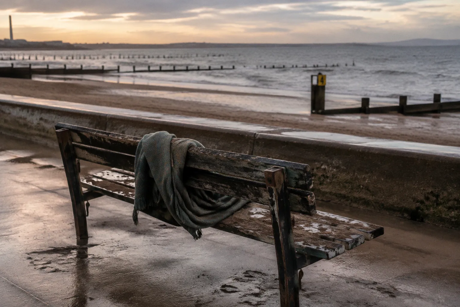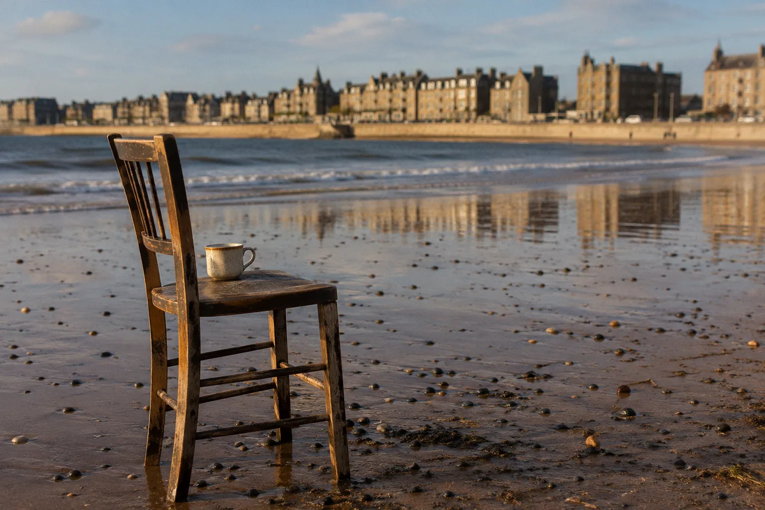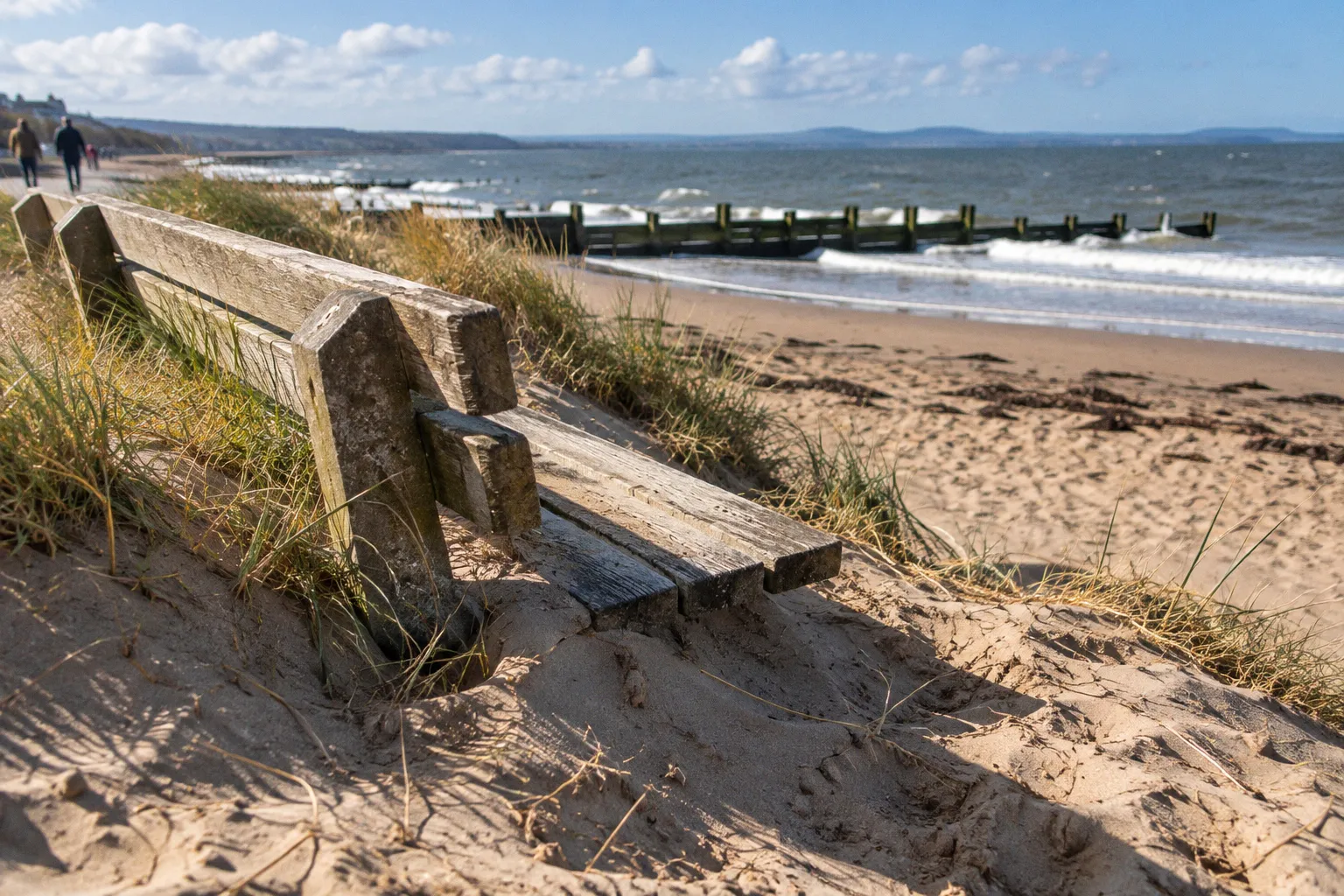
At Portobello and Joppa, the movement is governed by the semi-diurnal tide of the Firth of Forth: two high waters and two low waters during a lunar day, with roughly six hours and twelve minutes between successive tides. That rhythm is ordinary here. The consequences are not always so gentle.
The portobello promenade coastal erosion impact is therefore less a single event than a continuing negotiation between water, sand, infrastructure, and the people who use the shore. Storm waves, longshore drift, wave scour, historical extraction, and the seasonal redistribution of beach material all leave their mark. A café terrace, a sea wall, a timber groyne, and a child’s route down to the sand occupy the same narrow strip of ground, but they do not experience the coast in the same way.
Portobello’s seafront is often described through its pleasures: the broad beach, the swimming groups, the cafés along the promenade, the walk east towards Joppa. Those pleasures remain central. So does the less decorative truth that the beach is a managed coastal system, one whose shape has been altered by engineering for more than half a century and whose future is now being considered through Edinburgh’s Coastal Change Adaptation Plan.
The Firth sets the timetable
The first mistake in reading Portobello’s shoreline is to treat the sand as a stable surface. It is better understood as material in transit. The tide lifts and withdraws it; waves rearrange it; currents carry it along the coast. A spring tide can expose a wide intertidal flat, while a neap tide produces a different balance of water levels and tidal movement. Storm conditions add another scale of force, especially when waves arrive against an already depleted beach.
Portobello’s mean spring tidal range is about 5.3 metres. That figure describes the vertical difference between high and low water during the larger spring tides, not a daily promise of identical beach exposure. The shape visitors see at any given hour depends on the tide phase, recent weather, the direction and strength of waves, and the quantity of sand held along that particular section of coast.
Longshore drift is especially consequential. Sand can move laterally along the beach rather than simply being carried offshore. Groynes interrupt that movement, encouraging sediment to accumulate on one side while leaving another section more exposed. The result is not a uniform defence line but a series of local conditions: one bay may hold a generous cover of sand, while a neighbouring stretch shows a steep drop from the promenade edge.
This is why photographs of Portobello Beach taken in different seasons can seem to show different places. The promenade remains, but the beach profile changes beneath it. A broad, forgiving slope may become a narrower strip with a sharper descent. Access points can feel easy at low water and awkward after a period of scour. The effects are visible to walkers, swimmers, dog owners, café operators, and anyone staying in a seaside guest house who expects the coast outside the window to behave like a fixed landscape.
Portobello’s beach is not a backdrop to the promenade; it is the moving material on which the promenade depends.
The practical reading is straightforward. A visitor planning a swim, a coastal walk, or a meal near the water should look at the tide as part of the itinerary, not as background information. At high water, the beach narrows considerably. At low water, the walk may open out, but the exposed sand can also reveal uneven ground, channels, and softer patches. The coast gives more space and more uncertainty at the same time.
The 1972 intervention still shapes the beach
Portobello’s present shoreline is partly the legacy of a large beach restoration scheme begun in June 1972. The project placed 600,000 cubic metres of coarse offshore sand on the beach, with a median grain size of 0.27 millimetres. Five greenheart timber groynes and one gabion groyne were constructed as part of the same broad effort.
The scale matters. This was not a cosmetic improvement to a recreational beach. It was a substantial attempt to replenish sediment and influence how that sediment moved along the shore. The groynes were designed to trap sand and reduce its rate of lateral loss, giving the beach a greater volume of material to absorb wave energy before waves reached the promenade.
That function is often misunderstood. A groyne does not stop erosion across an entire coastline, nor does it manufacture sand. It changes the distribution of existing sediment. Where it holds material, the beach may become wider or higher. Down-drift, the same interruption can contribute to sediment scarcity. Every timber structure is therefore part of a larger coastal pattern rather than an isolated barrier.
The greenheart groynes also belong to the visual language of Portobello. Their timber lines extend into the sand and water, marking the shore as a place where vernacular seaside character and engineered intervention sit together. They are not antique ornaments. They are working pieces of coastal infrastructure, exposed to salt, wetting, drying, impact, and storm force.
For anyone interested in the Firth of Forth shoreline changes, the 1972 scheme offers a useful lesson: what looks like a natural beach may already be the product of decisions made decades earlier. The current beach profile is not simply the result of this winter’s weather. It reflects historic nourishment, the behaviour of the tide, wave action, sediment transport, and the continuing condition of the structures intended to influence that movement.
What the main interventions do
| Intervention | Purpose at Portobello | What it cannot do |
|---|---|---|
| Offshore sand replenishment | Increase the volume of beach material and rebuild the shore profile | Guarantee a permanent sand level when waves and currents continue to move sediment |
| Timber groynes | Interrupt longshore drift and encourage sand retention in defined sections | Prevent erosion everywhere or remove the need for maintenance |
| Gabion groyne | Provide a further structure for influencing sediment movement | Stabilise the entire promenade or control storm conditions |
| Sea wall and promenade edge | Protect the built seafront and public route from direct wave exposure | Replace the buffering role of a healthy beach |
| Coastal adaptation planning | Coordinate responses to erosion, flooding, and sea-level rise | Offer a single final design for a coastline that remains dynamic |
This distinction between holding sand and stopping erosion is central to any discussion of coastal defense in Edinburgh. The former is a management measure. The latter suggests a certainty the shoreline cannot provide.
Storm Arwen exposed the cost of neglect
In November 2021, Storm Arwen damaged one of Portobello’s timber groynes. The event was a visible reminder that the structures are vulnerable when the Firth is carrying large waves and the beach profile has shifted around them.
The City of Edinburgh Council subsequently completed a £500,000 project to repair and restore the five timber groynes. The work was completed in September 2024. It is a considerable municipal investment, but its meaning extends beyond the figure. Restoring the groynes returns the coast to a managed configuration; it does not return it to an earlier, permanent state.
That difference is easy to miss when infrastructure is described as protection. A restored groyne can perform its intended function, but the sediment around it will continue to move. Timber will continue to weather. Storms will continue to test the design. Maintenance is not evidence that the intervention has failed. It is part of the intervention’s life.
The restoration also illustrates the tension between a public beach and a public budget. Portobello is a recreational landscape, a residential shoreline, a route for active travel, and a cultural destination. Spending on groynes serves all of these uses indirectly, but it must compete with other demands across the city. The argument for repair is strongest when the beach, promenade, and surrounding neighbourhood are understood as one connected system.
A seaside café does not need to calculate sediment transport to feel its effects. A sharp beach drop can alter how customers reach the shore. A damaged structure can change the appearance and perceived safety of a bathing area. A narrower beach may bring wave energy closer to the promenade. Guest houses and short-stay accommodation face a quieter version of the same exposure: the value of a coastal setting depends on access, views, public realm, and the confidence that the shoreline is being managed with some continuity.
That does not mean every erosion effect on seaside property can be reduced to a property-market question. Portobello is a lived district, not a resort frontage assembled solely for visitors. The promenade belongs to residents who walk it year-round, to swimmers who know the water temperature and tide tables better than most visitors, and to businesses whose relationship with the beach is practical rather than picturesque. Coastal management that protects only the view while neglecting access, drainage, or public space would preserve the image and damage the place.
The 2024 sand depletion was a warning from ground level
In March 2024, local residents raised concerns about cracks in the promenade sea wall and severe sand depletion along affected sections of the beach. In places, the difference between the wall and the beach bed reached up to ten feet.
A drop of that scale changes the experience of the shoreline immediately. It alters how people descend to the sand, how waves meet the wall, and how the promenade edge is perceived from above. It also makes clear why the beach is part of the defence system. When sand is present in sufficient volume, it provides distance and absorbs some of the energy moving shoreward. When that buffer is reduced, the hard edge becomes more exposed.
The cracks in the sea wall should not be treated as proof that the entire structure has failed. Council maintenance and wider adaptation planning are underway, and the condition of a seawall is assessed as part of a continuing programme rather than through a single alarming image. But neither should the concerns be dismissed as a temporary inconvenience. A crack, a sand scarp, or an exposed foundation records a relationship between the promenade and the water that has become more demanding.
For visitors, the consequences are specific rather than abstract:
- Beach access can vary sharply between sections of the promenade. A route that is comfortable in one season may become steep or uneven in another.
- The lowest part of the beach is not always the safest walking surface. Channels and soft sand can appear as the tide recedes.
- The tide changes the usable width of the shore. A café may be close to the water at high tide and separated from it by a broad intertidal expanse later in the day.
- Structures should not be climbed or treated as play equipment. Groynes and sea-wall edges are working infrastructure, not viewpoints designed for casual access.
- Wild swimming depends on conditions beyond the visible beach. Tide, wind, water movement, and local knowledge matter more than the apparent calm of a single afternoon.
The best coastal advice is often unglamorous: read the tide, use established access points, leave room for changing water levels, and do not confuse a familiar shoreline with a predictable one.
A promenade plan has to serve more than tourism
Portobello Promenade is subject to a municipal masterplan investment scheme funded through Edinburgh’s Visitor Levy City Transformation Fund. The proposed work covers public spaces, street furniture, and seafront facilities between Kings Place and Joppa. It sits within a larger conversation about how the promenade should function as a civic edge rather than merely a scenic route.
That distinction matters because the promenade is where several kinds of movement meet. There are daily walkers and weekend visitors, cyclists and prams, swimmers carrying towels, older residents looking for a bench, and people moving between the beach, cafés, homes, and bus routes. A well-designed public realm does not simply make the coast more attractive. It reduces conflict between these uses and makes the shoreline legible in conditions that are not always generous.
The planned improvements also arrive at a moment when the city is considering active-travel and seafront connections, with a delivery phase identified for 2026–2028. The success of such work will depend on its relationship with the beach. A smoother route cannot compensate for a dangerous access point. New furniture should not obstruct maintenance vehicles or narrow the movement corridor. A more polished promenade must still allow residents to use it as ordinary public ground.
This is where coastal heritage becomes practical. Portobello’s significance is not contained in a handful of surviving façades or in the memory of a former bathing culture. It lies in the way the promenade continues to hold together a shoreline neighbourhood: Victorian-era urban expansion, beach recreation, local food businesses, sea swimming, public engineering, and the daily geography of east Edinburgh.
The relevant question is not whether the promenade can be made permanently safe from change. It cannot. The question is whether public investment acknowledges the change and gives people enough information, access, and physical resilience to live alongside it.
The Coastal Change Adaptation Plan changes the conversation
The City of Edinburgh Council’s Flood Prevention team is developing an Edinburgh Coastal Change Adaptation Plan to address coastal erosion, tidal flooding, and rising sea levels along the Portobello and Joppa coastlines.
The word adaptation is doing serious work here. It implies that the city is not relying on one structure, one sand operation, or one restoration project to settle the future of the shore. Instead, the coastline is being considered through a sequence of responses: monitoring, maintenance, public-space design, flood planning, sediment management, and decisions about where protection can be sustained.
That approach reflects the limits of hard coastal defence. A sea wall can protect the promenade edge, but it cannot determine how much sand exists in front of it. A groyne can hold sediment locally, but it can also influence conditions further along the beach. A replenishment scheme can rebuild the profile, but the added material will continue to respond to tide and wave climate. The coastline remains a system of connected effects.
The unknowns are as significant as the confirmed works. There is no simple year-on-year figure separating sand moved by seasonal longshore drift from material displaced during individual storms. It is also not yet clear whether future management will rely on further mechanical beach nourishment, continued structural maintenance, natural accumulation under the adaptation plan, or some combination of these approaches.
For local businesses and accommodation providers, this uncertainty requires a different kind of planning. A guest house near the beach should describe access and outlook accurately without promising a fixed beach condition. A restaurant or café can benefit from the promenade’s appeal while recognising that the public realm is subject to works, tides, and seasonal change. Visitors are better served by clear information than by the usual language of eternal seaside ease.
The same principle applies to coastal walks. The route from Portobello towards Joppa is compelling precisely because it remains connected to the working edge of the firth, but walkers should not assume that every section will offer the same footing or width. At high water, the beach may cease to function as a continuous lower route. On the promenade, public access is more dependable, but construction, furniture, and crowding can alter the experience. The coast rewards attention to what is underfoot.
The future of Portobello will not be secured by freezing the shoreline in place, but by managing change without losing the public life that makes the shore worth protecting.
What the shifting beach means for a visit
Portobello is still a place for an unhurried walk, a coffee after a swim, seafood near the water, or an evening route east along the firth. A dynamic shoreline does not cancel those experiences. It gives them a more accurate setting.
The most useful preparation is modest:
1. Check the tide before choosing a beach activity. The roughly six-hour-and-twelve-minute tidal interval means that conditions can change substantially within an ordinary outing.
2. Use the promenade when the lower shore is narrow or uneven. A walk beside the beach is not a lesser version of the coast; it is often the safer and more continuous route.
3. Treat groynes, seawalls, and access edges as infrastructure. Their purpose is to manage forces, not to provide informal seating, climbing routes, or platforms.
4. Expect seasonal sand differences. A section that looked broad in summer may be lower or more sharply cut after winter storms or periods of wave scour.
5. Spend locally, but read the neighbourhood as a neighbourhood. Cafés, shops, accommodation, and the beach are connected, yet Portobello is not a stage set arranged solely for visitors.
6. Leave room for the next tide. This is both a practical rule and the governing fact of the place.
The deeper lesson of Portobello Beach management is that coastal character is produced by movement. The sand shifts. The groynes weather and are restored. The promenade is renewed. Public expectations change as the sea reaches different parts of the shore. None of this diminishes Portobello’s identity; it explains why the identity has to be maintained through attention rather than nostalgia.
The shoreline will continue to move with the tides of the Firth of Forth, the drift of sediment, and the force of storms. Edinburgh’s task is not to pretend otherwise. It is to protect access, public life, and the working relationship between beach and promenade while the ground beneath them keeps changing.